
Bloomington ZIP Code Directory Coverage
Minnesota's DVS county-and-ZIP list names seven ZIP areas for Bloomington in Hennepin County: 55420, 55425, 55431, 55435, 55437, 55438, and 55439. The list establishes candidates for an address search. It does not draw postal boundaries or make each location inside those ZIPs a Bloomington address. Postal delivery zones and municipal limits solve different problems.
| ZIP | Bloomington-serving area evidence | Post office note | Search caution |
|---|---|---|---|
| 55420 | East and southeast polling-location examples | Bloomington Post Office is addressed Minneapolis 55420 | Verify the individual delivery address |
| 55425 | DVS Bloomington listing and city survey geography | Use USPS for individual delivery assignment | Do not equate ZIP with city line |
| 55431 | Central and north polling-location examples | Nearby service can carry a Minneapolis label | City plan survey share: 22% |
| 55435 | DVS list includes it; a current Bloomington permit uses it | Postal area extends beyond Bloomington | City plan says it is primarily outside Bloomington |
| 55437 | West and southwest polling-location examples | Nearby service can use other postal labels | Check parcel boundary for inclusion |
| 55438 | Southwest polling-location examples | Nearby Burnett Post Office is Minneapolis 55438 | Postal area reaches city edges |
| 55439 | West Bloomington edge polling example | Normandale Post Office is Minneapolis 55439 | Primarily outside Bloomington in the city plan |
The city plan survey geography listed shares for 55420, 55425, 55431, 55437, and 55438, but those figures are not postal-population counts. The strongest rule for this ZIP code directory is simple: identify the delivery ZIP, then confirm the physical parcel lies within Bloomington.
Note: A polling-place ZIP is a local geography example, not evidence that every address in that postal area is inside Bloomington.
Verify a Bloomington ZIP Code With USPS
The USPS ZIP Code Lookup is the dedicated delivery-address tool. Use it before mailing a records request or carrying an address into another search. It can look up a ZIP from a street address, list ZIPs for a city and state, or return cities for a supplied ZIP. A result verifies postal assignment only. It does not identify a person at that address.
| Find by Address | Address mode for a residential or corporate delivery address. |
|---|---|
| Street address | Required in address mode. |
| City and state | Required in address mode. Try Bloomington and Minneapolis when the postal city is uncertain. |
| Find by City and State | Lists ZIPs serving Bloomington, Minnesota. |
| Find Cities by ZIP | Reverse mode using a ZIP input. |
| Search | Runs the selected USPS mode. |
The following capture is from the USPS Bloomington Post Office source.
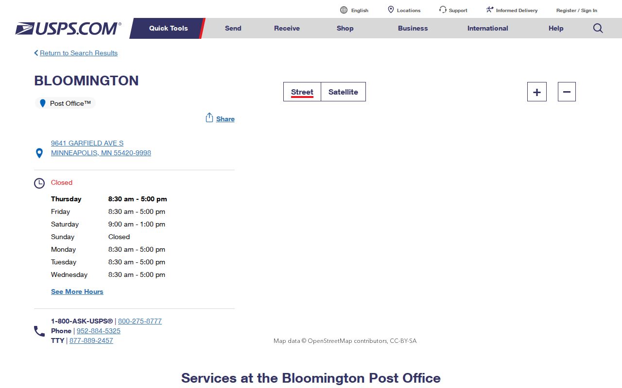
The Bloomington Post Office at 9641 Garfield Ave. S. is addressed Minneapolis, MN 55420-9998. That postal-city label is a reason to verify, not a reason to recast a Bloomington parcel as Minneapolis.
Bloomington ZIP Code Fields in MNVotes
MNVotes offers a switch to ZIP search for an individual registration confirmation. It is not a bulk directory. The portal is updated nightly, and officials may take up to fourteen days to process changes. A nonmatch can reflect the portal's field rules, a changed registration, or a protected record, so it should not be treated as proof that a person does not live in Bloomington.
| MNVotes field | Input type | Needed in ZIP mode | Format or purpose |
|---|---|---|---|
| First and last name | Text | Yes | Letters, spaces, hyphens, and apostrophes; no suffixes |
| Date of birth | Three-part date | Yes | Month, day, and year |
| Switch to ZIP search | Toggle or link | Yes | Changes the address workflow |
| ZIP | Text | Yes | Five digits |
| County | Select | Yes | Select Hennepin County |
| City or township | Select or text | Yes | Select Bloomington where available |
| House number and street | Number and dropdown/text | Yes | Uses the registered address; unit information is conditional |
The capture comes from the Minnesota Secretary of State voter-information source.
Minnesota law limits voter-list use and internet publication. Use MNVotes only for lawful, individual confirmation and keep ballot choices out of the question because they are secret.
Finding Records Within One Bloomington ZIP
Searching a single ZIP works best as a narrowing step for a known name or address. None of the inspected public systems offers a general ZIP-wide list of residents. USPS checks delivery format. PINS checks a parcel by address or property identifier. MNVotes checks an individual registration with more identifying information. Each answer describes a different record, and each has its own limits.
- Start with the DVS list so 55425, 55435, and 55439 are not excluded by assumption.
- Use USPS by-address search to confirm the delivery ZIP and postal city for the specific address.
- Enter the address in Hennepin PINS, then use county GIS or city boundary layers to confirm whether the parcel's physical address is in Bloomington.
- For one registered voter, use MNVotes with the required name, date of birth, ZIP, county, city or township, house number, and street workflow.
- For a lawful geographic voter product, follow the Secretary of State request form. Its available areas are city, precinct, ward, district, and county based, not ZIP based.
- Save the date checked because postal assignments, precincts, city boundaries, and portal interfaces can change.
Once a ZIP has led to a confirmed street address, the Bloomington street directory has the fuller address-based path through parcels, deeds, permits, and maps.
Bloomington ZIP Searches Without a PINS Filter
Hennepin County Property Information Search, known as PINS, does not expose ZIP as a public search field. That is by design of the inspected form, which accepts an address, a 13-digit PID, addition name, or map click. It can return tax, assessment, parcel-description, sales, and recent-recording information for an individual parcel. The location question is answered by the parcel address and map, not by a postal-zone filter.
The Hennepin property search and the Interactive Property Map are the county routes. PINS updates on weekdays around 9:15 p.m. Central. The map is reference information, not a legal survey, so a boundary issue that matters should be checked against recorded plat or survey material.
The following capture is from Bloomington's property information, zoning, and maps source.
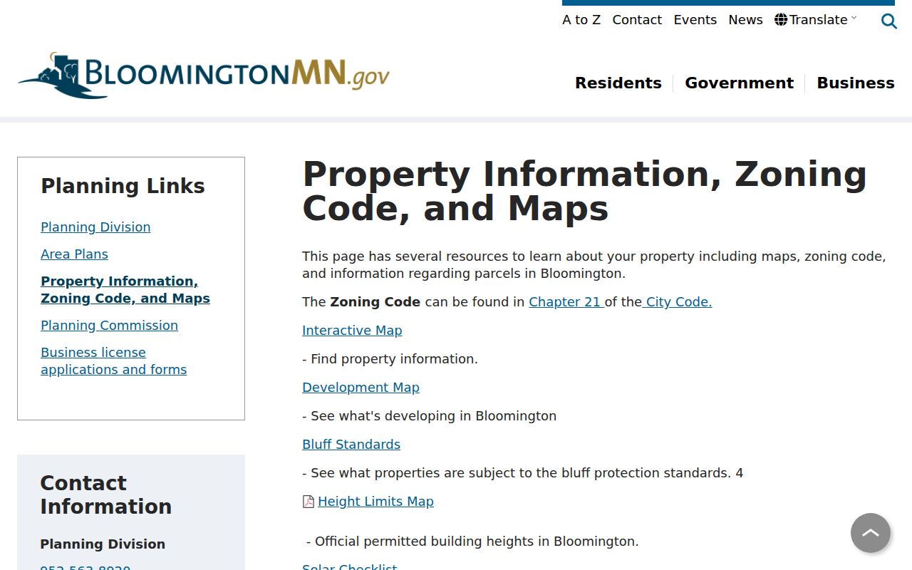
City map layers include municipal boundary, parcels, council districts, street names, historic sites, zoning and overlay districts, and bluff contours. Those layers help separate postal geography from civic geography.
Bloomington ZIP Boundaries and City Lines
ZIP boundaries and Bloomington city limits do not match one for one. The city plan specifically says that 55435 and 55439 are primarily outside Bloomington, even though the DVS list associates both with Bloomington. Conversely, a parcel within Bloomington can carry a Minneapolis postal city. Keep the physical address, owner mailing address, postal city and ZIP, and legal description or PID as separate facts.
- ZIP and ZIP+4
- The five-digit ZIP identifies a delivery area. ZIP+4 adds a more precise delivery segment but does not redraw the city boundary.
- PO Box ZIP
- A postal code used for post-office boxes. No Bloomington-specific PO Box-only ZIP was confirmed in the research, so it should not be assumed here.
- Unique ZIP
- A ZIP assigned to one organization or delivery purpose. No Bloomington unique ZIP was confirmed in the research.
- Carrier route
- A delivery route used by postal carriers. It helps postal sorting and is not a municipal boundary or a resident roll.
- Situs address
- The physical parcel address. It is distinct from an owner mailing address and from a legal description.
Bloomington ZIP Code Postal-City Trap
The Minneapolis label on Bloomington-area USPS facilities is the local quirk most likely to produce a bad match. The Bloomington office is labeled Minneapolis 55420. Burnett is Minneapolis 55438, and Normandale is Minneapolis 55439. Postal naming helps mail move through the network. It does not decide the city that maintains a street, parcel, permit, or municipal record.
Bloomington polling materials contain real addresses in 55420, 55431, 55437, 55438, and 55439. Those examples confirm local civic use, but they are not a complete household inventory for any postal area.
No official Bloomington ZIP realignment timeline was located. For current work, verify the address through USPS, PINS, county GIS, and the relevant city map at the time of the search. For historical work, rely more heavily on deeds, plats, and legal descriptions because ZIPs are not stable historical household identifiers.
Note: Write down whether each result describes postal delivery, a physical parcel, a mailing address, or a legal land description before comparing records.