
Build a Bloomington Street Record
A street-by-street search in Bloomington works best as an address chain. Hennepin County Property Information Search, known as PINS, starts with the situs, or physical parcel address. It returns the Property ID, called a PID, and the legal description that let the same land be recognized in mapping and land-title records. The map supplies parcel context. Recorded instruments supply named parties and their roles. City permits add a dated site trail. Historical directories may add a printed household lead, but neither an owner nor a directory entry alone proves continuous residence.
- Enter the normalized Bloomington address in Hennepin PINS, then save the PID, legal description, assessment, sales, and recent-recording details.
- Open the parcel in the Hennepin Interactive Property Map. Click the target and, when needed, the parcels touching it or facing the same street segment.
- Use the PID and legal description to separate the physical address from a tax or mailing address before attaching any name to the parcel.
- Search RecordEASE Public Search by legal description or individual or entity name to locate recorded instruments and their parties.
- Check the Bloomington permit trail by address, application, or listed contact. Treat a contact as a contact unless the record identifies a different role.
- For a past household lead, compare the verified address with Hennepin Library directory conventions and a matching census or newspaper source.
That order reduces common mix-ups. It keeps a street spelling from being mistaken for a legal description and avoids turning a parcel contact into a claim about a household.
Bloomington PINS by Street
PINS is the main official entry point for a current Bloomington street address. Its public form accepts an address, a 13-digit PID, an addition name, or a map click. Address search needs both the house number and street name; the unit is optional. The county says street names need at least three characters, directions usually belong at the end, and standard abbreviations matter. PINS updates around 9:15 p.m. Central on weekdays and can show tax due, prior taxes, assessments, parcel description, sales information, and recently recorded documents.
The PINS search tips are especially useful when a Bloomington street has a directional suffix, an abbreviated road type, or a unit. PINS does not expose a public owner-name field. When the question begins with a person rather than a property, a recorded-instrument search, an in-person terminal, or a narrow data request is the documented path. The taxpayer or mailing field should not be read as proof that its holder occupies the situs.
The PINS tips screen shows the county's address-search guidance.
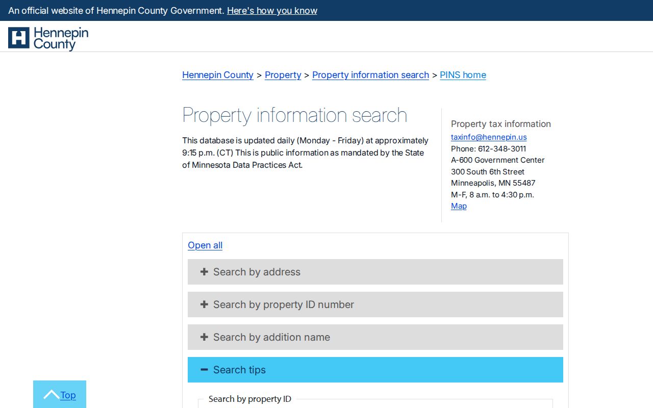
Use the form's accepted street style before deciding that a Bloomington address has no matching parcel.
Note: PINS supports individual-parcel work and prohibits bulk downloading, scraping, and automated extraction.
Bloomington Street Search Fields
The PINS fields provide several ways to keep a street search stable when ordinary address wording fails. A PID can be entered with or without dashes and spaces. Addition search uses the legal subdivision description, where lot and block are optional but the addition name is required. This matters for a split parcel, an old plat reference, or a street form that differs from the county's current display.
| Field | Type | Required | Bloomington street use |
|---|---|---|---|
| House number | Text | Yes | Starts the exact situs search. |
| Street name | Text | Yes | Enter at least three characters and use county syntax. |
| Unit number | Text | No | Separates units where applicable. |
| Property ID | Text | Yes in PID mode | Use the 13-digit identifier to bridge PINS, maps, and deeds. |
| Lot and block | Text | No | Supports a legal-description search. |
| Addition name | Text | Yes in addition mode | Needs at least three characters; legal abbreviations work. |
| Interactive map | Map click | No | Selects a parcel visually. |
- Parcel
- A defined piece of land in the county property system, commonly connected to a PID.
- Situs address
- The physical property location used by PINS, mapping, permits, and zoning records.
- Plat
- A recorded map that lays out lots, blocks, or subdivisions and can clarify a boundary or legal description.
- Criss-cross directory
- A reverse directory arranged from address to listed occupants rather than from name to address.
Map a Bloomington Street Parcel
The county property map is a click, zoom, and layer tool, not an owner-name search form. After finding a Bloomington parcel in PINS, select it in the map and record the PID and legal description. Then inspect parcels sharing a boundary, facing the same segment, or otherwise relevant to the property question. The GIS has no inspected exact-radius or one-block control, so nearby work is a manual parcel-by-parcel process rather than a hidden list of people.
Bloomington's interactive maps add municipal boundary, parcels, streets, zoning, guide-plan land use, historic sites, council districts, height limits, bluff contours, and other physical layers. Those layers help distinguish a city location from postal wording or a neighboring municipality. They do not make the displayed boundaries a survey. Where a lot line controls the answer, request the recorded plat or survey rather than relying on the map display.
Hennepin County's property information page introduces the address, PID, addition, and map routes.
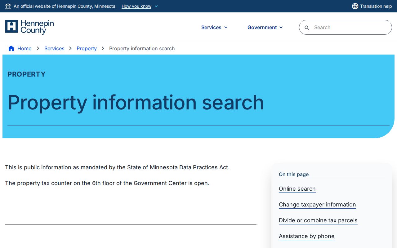
The county page confirms that the public property search is address and parcel based, not a ZIP-wide or name-only resident list.
Note: A GIS boundary is reference information; a recorded plat or survey is the proper source when a legal line matters.
Bloomington Address Record Layers
Several Bloomington and Hennepin sources are keyed to an address, but they answer different questions. PINS and GIS connect a street to the parcel. RecordEASE connects the legal description or party name to recorded instruments. CityView connects an address to a permit record where public access permits it. Historic directories can supply an address-to-occupant lead for their printed years. The lawful voter-list products are more restricted and should not be treated as an unrestricted street browse.
| Record layer | Custodian | Address evidence | Access route |
|---|---|---|---|
| PINS parcel record | Hennepin County | PID, situs, legal description, taxes, assessments, sales, recent recordings | Free address, PID, addition, or map search |
| Interactive property map | Hennepin Surveyor/GIS | Parcel geometry, layers, adjacent parcels, surveyed-property context | Free map click and browse |
| RecordEASE index | Recorder / Registrar of Titles | Deeds, liens, plats, certificates, parties, and recording details | Credentialed index, paid images, terminals, or copy request |
| CityView permits | Bloomington Building and Inspections | Current application, category, dates, PID, status, owner or contact where shown | Address, application, or contact search with detail limits |
| Historical directory | Hennepin County Library | Printed occupant, address, spouse, occupation, and residence marks where included | Exact OCR search and collection browsing |
| Registered voter products | Minnesota Secretary of State | Registered-voter information within statutory limits | MNVotes confirmation or certified paid list request |
Use role labels in your notes. A deed party may be a seller, lender, trustee, estate, or buyer. A permit result may identify an owner, applicant, contractor, or another authorized contact. A registered address and a parcel owner also answer different questions.
Bloomington Permits by Address
Bloomington's permit trail has a clear system boundary. CityView covers applications processed from January 30, 2017 forward and accepts an application number, address, or a contact's name and address. A public result can identify such fields as application or permit number, category, status, date, PID, and inspection status, but detailed documents are available only to a listed contact. That makes a permit useful dated property evidence, not a list of everyone at the site.
Legacy permits from December 7, 1998 through January 29, 2017 need a seven-digit permit number and cannot be searched by property address. When that number is missing, Building and Inspections can be called at 952-563-8930, or the record can be pursued through the city data-practices route. The date gap is a system limitation, not evidence that no permit exists.
Bloomington CityView Permit Locator provides the public current-system search.
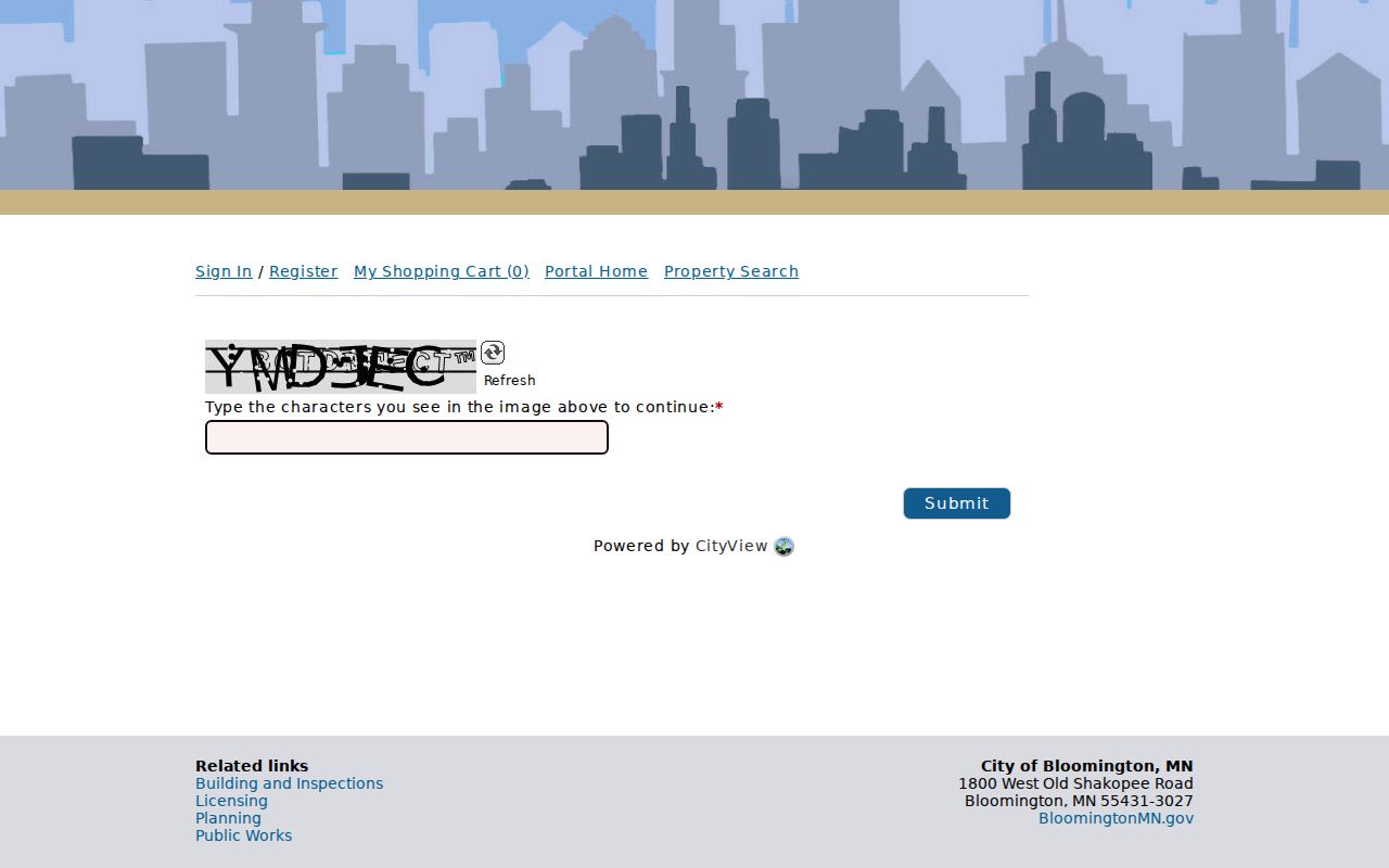
Use the permit result as a dated address record, then keep its owner and contact fields distinct from an occupancy claim.
Bloomington's permit status and monthly reports page explains the current and legacy access routes.
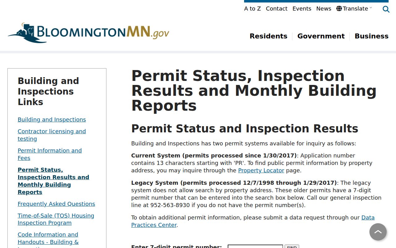
The separate legacy lookup is why an older Bloomington address often needs a permit number or a records request.
Note: Code-enforcement complaints are request and inspection records, not a public street directory of people.
Trace Bloomington Deed Parties
RecordEASE is the Hennepin Recorder / Registrar of Titles route for deeds, mortgages, assignments, liens, releases, plats, certificates of title, and other recorded instruments. The strongest keys are the legal description or an individual or entity name obtained after the parcel work. Free Public Search needs county-supplied credentials requested by email. The public login shows a user name and password gate, so the detailed search fields were not available during inspection.
For broader work, RecordEASE Pro charges $2.50 for each recorded document, Torrens certificate, or plat. Public computers are available at the Hennepin Government Center on the Skyway level, room SK-0353, during weekday business hours. Copy requests can also go by mail or electronic request, and certified copies have their own fees. The in-person route remains important because the online recent-recording history visible through PINS is limited.
Hennepin land-title records access explains terminal, mail, image, and certified-copy routes.
Confirm the proper copy channel before ordering an instrument or treating an index hit as a complete record.
Read Bloomington Historic Street Listings
For a historical street directory lead, Hennepin County Library's exact Bloomington digital collection contains four Bloomington City Directory titles from 1963 through 1966. Search the address and surname variants, then inspect all hits in a year. A printed address may use an abbreviation unlike a current PINS entry. A single-family address can also have more than one directory hit. The collection is a useful household lead, not a complete history of every Bloomington address.
Directory OCR requires patience. Hennepin's guide says search is case-insensitive but must match the scan text, while asterisk and question-mark wildcards can help only after the first character. Surname-first entries, ditto marks, and forms such as Robt, Wm, Chas, and Geo can change a name search. The residence marks h, r, and b changed meaning across years, and a prefix could touch the address number. Check each volume's abbreviation page before assigning a meaning.
The historical collections themselves have fuller context on the Bloomington city directory page.
Normalize Bloomington Street Forms
A street research file should keep four separate fields: the situs address, the tax or owner mailing address, the USPS delivery city and ZIP, and the legal description with PID. They can disagree without being an error. USPS uses a Bloomington Post Office address labeled Minneapolis, and Bloomington planning material notes that some ZIP areas are primarily outside Bloomington. A municipal address question should be resolved with PINS and the map boundary, not with the postal city alone.
Historic work creates another form problem. Hennepin's directory guidance documents abbreviated avenues, omitted street labels, numbered-street variants, and suburban spellings. No official Bloomington street-renumbering project or year was located in the reviewed sources. If a past street string fails, retain the PID, lot, block, addition, and legal description, then compare plats, historic aerials, and map context instead of asserting a renumbering.
Note: A stable legal description often bridges changed address wording more reliably than a street label or ZIP code.
Bloomington Recent Recording Window
The visible PINS recording history reaches only the last five years and may be incomplete. That is a useful fast check, especially because PINS refreshes on weekdays, but it is not the whole deed trail. The county's reviewed sources did not publish the start year for the complete online RecordEASE index. For an earlier transfer, use the credentialed index, RecordEASE Pro, the recorder's public terminals, a mail copy request, or professional title research when the scope requires it.
This five-year difference is important for a street directory search. A recent seller or buyer can be found quickly, while an older chain needs another channel. Keep the instrument type, recording date, document number, party role, and legal-description bridge together. That record set tells a more reliable story than repeating a current owner name across a street.
Limits of a Bloomington Street Directory
A Bloomington street directory cannot provide a complete list of who is physically present at an address. PINS is parcel focused and has no public owner-name form. The map shows land rather than a household roster. Permit contacts can be owners, applicants, contractors, or other contacts. Historic directories omit some people and use their own publication rules. MNVotes is a confirmation route, while voter-list access requires identification, a signed use statement, and compliance with Minnesota's use and publication limits.
Some records are withheld or restricted. Minnesota Safe at Home participants can use a designated mailing address, and voter names can be withheld for safety under state procedure. Court and vital records have separate access limits. A no-result may reflect a field, date, classification, or protection rule. It should never be treated as permission to seek around the protection or as proof that a person is absent.
Hennepin County Data Practices Requests is the documented fallback when a narrowly defined county record is not available in a public screen.
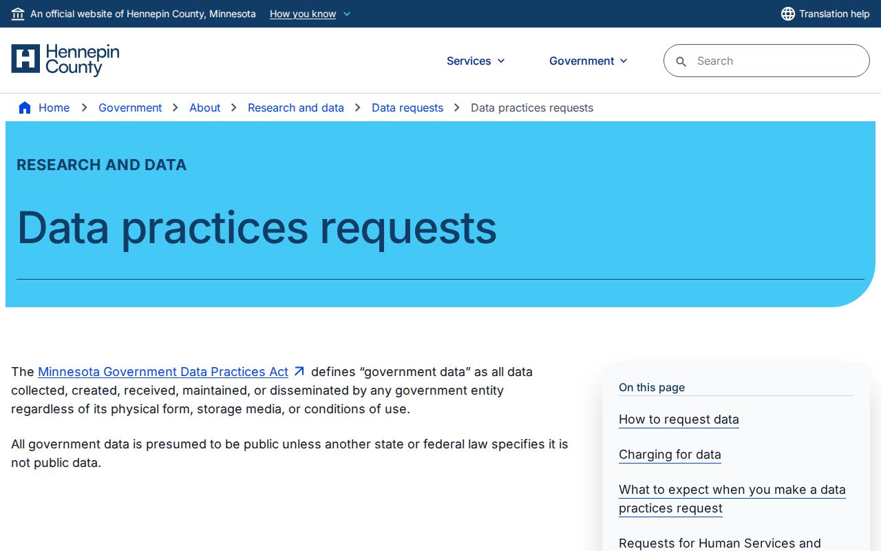
A request may produce public data, a lawful denial citation, or notice that the county does not hold the requested data.