
Bloomington Neighbors Around One Block
A block search begins with adjacent parcels, not a broad name search. Hennepin’s property and map tools establish the parcel geometry and the identifiers needed for a recorded-title search. The official sources are best at showing parcels, property roles, and civic geography. They do not make every person at an address visible. Registered voters, nonregistrants, owner parties, permit contacts, and historical occupants are different groups. Keep each label exactly as the record uses it.
| Source | What it shows about a block | Access |
|---|---|---|
| Hennepin Interactive Property Map | Parcel boundaries, nearby geometry, layers, and property context reached by map click | Free map and click workflow |
| Hennepin PINS | PID, situs, legal description, taxes, assessment, sales, and recent recordings | Free address, PID, addition, or map search |
| RecordEASE | Recorded parties and land-title instruments linked by legal description | Credentialed index, paid images, terminals, or copies |
| MNVotes and official voter products | Individual registration confirmation or limited lawful geographic products | Purpose-restricted state channels |
| Community and historical sources | Association contact leads, block-captain activity, local history, and dated occupant clues | City, library, archive, or group contact |
Start with a normalized street address in PINS and save the 13-digit PID and legal description. A PID is the county parcel identifier. The legal description is the lot, block, addition, or other land description used in title records. A situs is the physical property address. These are more reliable links between tools than a person’s name alone, especially where addresses, parcel lines, or mailing locations differ.
Note: An adjacent parcel can identify an owner or recorded party, but it does not by itself identify a current neighbor.
Parcel Clicks on a Bloomington Block
The Hennepin Interactive Property Map is a click, zoom, and layer tool. It does not expose a confirmed radius or buffer search. Locate the target parcel, zoom until the lots are clear, then select parcels that share a boundary, face the same street segment, or sit across the street. Open each property context and keep the PID and legal description before moving into recorded parties. The map is reference information, not a legal survey, so a disputed boundary needs a recorded plat or survey rather than a screen capture.
For block context beyond the county viewer, use the City of Bloomington interactive maps.
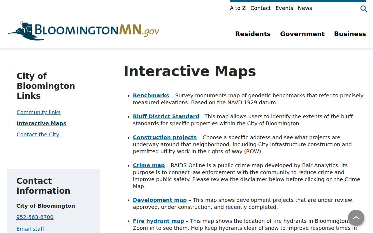
The city map collection adds parcels, streets, zoning, council districts, historic sites, guide-plan land use, airport-height information, and other physical layers. Those layers explain the setting around a Bloomington address without making a claim about a person’s residence.
Mapping a Bloomington Neighbor Block
Use a parcel-to-title flow for the immediate block. It keeps ownership and presence separate while preserving the details a county terminal or recorder request will need. The Hennepin map has no confirmed automatic block-radius control, so manual parcel browsing is the documented method. Stop at the nearby lots relevant to the address rather than turning the process into a broad resident search.
- Enter the target Bloomington address in PINS and record the PID, situs, and legal description.
- Open the same parcel in the Hennepin map, then click the adjoining, facing, or nearby parcels that are relevant to the block question.
- Use each PID in PINS to confirm the parcel record. Keep mailing information separate from the situs address.
- Use the legal description in RecordEASE to review recorded instruments and party roles. If the online path ends, use the recorder terminal, mail-copy route, or a focused county request.
The flow is address to PID, PID to map context, legal description to recorded instrument, then a carefully labeled party role. For a full named-street chain rather than an immediate block question, use the Bloomington street directory. A record of a deed, mortgage, release, or plat identifies an instrument party, not necessarily the person now at the property.
Property Roles on a Bloomington Block
PINS is address-first. It accepts a house number and street, an optional unit, a PID, an addition name, or a map selection. Its public form does not provide an owner-name field. RecordEASE is party and instrument oriented, with county guidance pointing researchers to legal description or individual and entity name. That contrast matters for a neighbor search: use PINS to reach the parcel, then RecordEASE to identify the recorded trail. The online recent-recording history visible through PINS covers only the last five years and may be incomplete.
| Record label | What it can show | What it cannot establish alone |
|---|---|---|
| Situs address | Physical location of the parcel | Who is physically present there now |
| Taxpayer or mailing address | Tax or correspondence destination | That the recipient lives at the parcel |
| Grantor or grantee | Party role in a recorded instrument | Continuous residency or ownership after later events |
| Permit contact | Authorized contact connected with an application | That the contact is a resident or owner |
When a parcel line is unclear, request a recorded plat or survey product from the county rather than guessing from the map. Hennepin’s map products are reference data, and the county lists map and data fees that vary. This is the appropriate fallback when the geometry, not a person’s identity, is the unanswered question.
Note: Record every party’s stated role before comparing it with another source, because a seller, lender, trustee, or entity can appear in the same title chain.
Bloomington Neighborhood Contact Paths
Bloomington’s community layer is useful for contact and civic context, not as a public household roster. The city’s 2025 common-interest association study maps association locations and reports that association patterns cluster in western and southern areas and near major roads and commercial hubs. The city can help with basic association contact information, but it does not oversee association operations and no current public master directory was located. Property records, closing documents, correspondence, and Secretary of State nonprofit registrations are the documented leads when an association name is known.
Common-interest associations
Ask the city HRA resource channel for basic contact help, then confirm the association through property records, closing material, correspondence, or a nonprofit filing. City staff do not supervise the association.
Neighborhood Watch
Bloomington uses block captains as resident liaisons. The city program describes recruiting nearby residents, contacting law enforcement, holding a meeting, and maintaining an annual gathering rather than publishing a roster.
See the Bloomington HRA community-association resource for the city’s contact and non-oversight explanation.
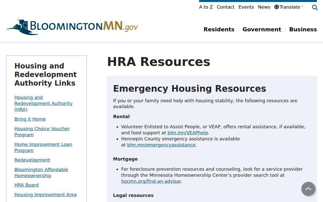
The resource supports a contact-lead approach. It does not convert an association map or an organization connection into a public list of people who live on a Bloomington block.
Lawful Voter Data on a Bloomington Block
Minnesota voter information is not a free block directory. MNVotes is the official individual confirmation workflow and requires the person’s name, date of birth, and registered address or ZIP, county, and city route. Public voter-file fields can include name, address, year of birth, phone when provided, participation history, and district information, but ballot choices are secret. Exact date of birth and government identification numbers are not public through the voter list.
The Secretary of State’s paid walking-list product is geographically sorted by street, but the requester must be a registered Minnesota voter and certify use only for elections, political activities, or law-enforcement purposes. Publication in a searchable online format and sale, loan, or access outside the statutory exceptions are prohibited. A voter row is also limited to registered voters, not every person at an address. Treat a nonmatch or withheld name as a protection or workflow limit, not a prompt to search around it.
Bloomington Block: Official and Commercial Records
Official sources and commercial neighbor-search tools answer different questions. A county parcel record identifies property data and a title index identifies instrument parties. A commercial service may combine public, marketing, historical-address, and user-submitted material, but its identity matching, freshness, and removal practices vary. Use the source that can be checked with its custodian, and do not turn an old address or a merged profile into a present-day claim.
| Source category | Useful for | Key limit |
|---|---|---|
| Official parcel and title records | Parcel identity, legal description, and stated party roles | Owner or party status is not proof of current presence |
| Official voter channels | Lawful individual confirmation or certified geographic product | Strong statutory use and publication limits |
| Community contact sources | Association or block-captain contact leads | Not a resident roster and not city oversight |
| Commercial people-search category | Possible historical leads that require checking | Accuracy, dates, matching, and removal practices vary |
For information held by a covered private business, the Minnesota Consumer Data Privacy Act provides rights to know, access, correct or delete where applicable, learn certain third-party sales, and opt out of specified processing. The law took effect July 31, 2025. It does not erase county or city records through a general removal request. For government-held information, use the relevant custodian, voter withholding procedure, court process, or Safe at Home program.
Bloomington Places Near a Block
Some local places add historical or civic context without identifying current residents. Bloomington City Cemetery is maintained by the City Clerk, has records reaching to the 1800s, and provides lot, interment, and burial-location research through the city. The cemetery began in 1856 and was acquired by the town in 1864. A cemetery, historic-site, precinct, park, or zoning layer can help distinguish places on a map, but none is a substitute for a parcel or title record.
See the Bloomington City Cemetery source for its records and contact details.
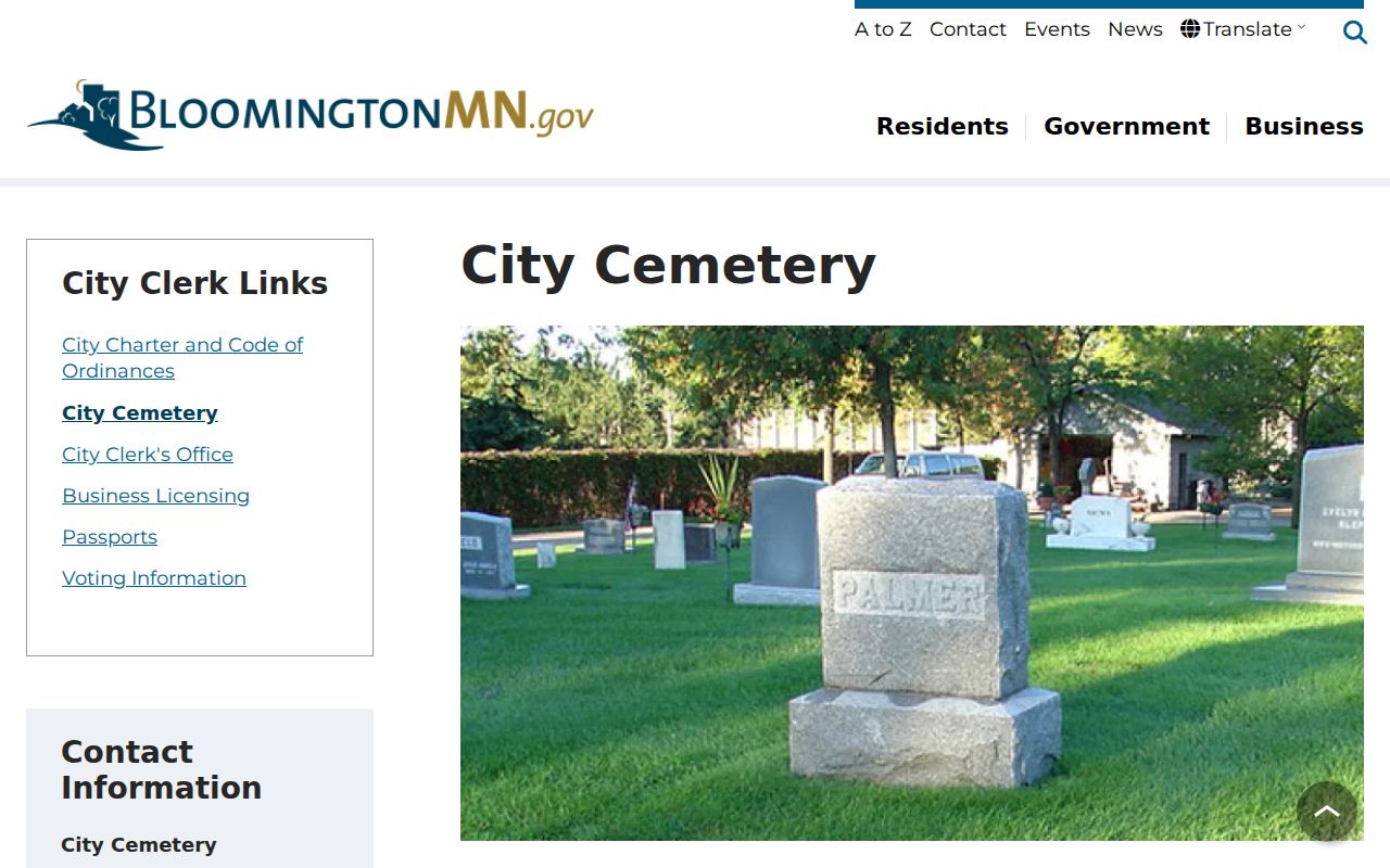
The cemetery is a time-stamped historical source. An interment, lot holder, or cemetery address should be labeled as such and compared with another record before drawing a family or residence conclusion.
Privacy Limits on a Bloomington Block
Address information has real limits. Minnesota Safe at Home provides eligible participants with a designated mailing address and physical-location protections. Voter law also allows safety-related withholding, while court records may be sealed, expunged, or restricted. Minnesota driver and vehicle data is not a general public address source. A missing public result can reflect protection, a field-scope limit, an exact-match issue, or a record held through another channel. It is not proof that the person is absent.
See the Minnesota Safe at Home eligibility source for the program’s designated-address rules.
The program is a safety protection, not a gap to overcome. Use the designated address and other withholding choices as the boundary they are intended to be.
Lawful use. Use Bloomington block research for lawful personal context, community participation, family history, or civic questions. Minnesota law prohibits stalking, harassment, monitoring, and misuse of another person’s information.
Do not use a public source to follow, repeatedly contact, publish the location of, or intimidate another person. When a record affects an important decision, verify it with Hennepin County, Bloomington, Minnesota, or the relevant custodian.