
Bloomington Previous Residents Sources
The backward trail for a Bloomington address changes by era. Current parcel information establishes the land and its recent activity. Recorded instruments can move a title chain farther back, although the county has not published a complete online-index start date. Bloomington's exact digital city-directory run supplies a short but valuable household layer. Older work may move into regional directories, federal or state census material, local newspapers, cemetery records, and historical repositories. The right opening source is the one that fits the date and the kind of evidence needed.
| Source | Years it covers | Where held | What it can show |
|---|---|---|---|
| PINS property information | Current and prior tax or assessment material; recent recordings last five years | Hennepin County online | Current parcel, PID, legal description, sales, tax, and recent-recording context |
| RecordEASE full index | Start year not located in reviewed official sources | County credentialed index, Pro service, terminals | Instruments, parties, certificates, and a deed-chain lead |
| Bloomington City Directories | 1963-1966 | Hennepin Library ResCarta | Printed address and household leads within each volume's conventions |
| Bloomington permits | Current system from 2017; legacy system 1998-2017 | CityView and city records request | Dated construction, alteration, contact, or owner evidence where available |
| State and federal census | Federal schedules public under the 72-year rule; state rolls are series specific | NARA access and MNHS | Household and historical-geography evidence |
| Local newspapers and cemetery records | Collection specific, with cemetery records reaching the 1800s | Bloomington Historical Society and City Clerk/Cemetery | Notices, obituary leads, interments, and lot history |
Use a dated source to form a lead, then use a second source to test it. A property transfer can describe ownership, while a directory or census may be more useful for a household at a particular time.
Start Bloomington With a PID
For previous residents research, start with today's address in Hennepin County Property Information Search. Capture the current PID, legal description, addition, lot and block where shown, and recent-recording history. A PID and legal description are stronger bridges than a street string when an address has been reworded, a parcel has been divided or combined, or the postal city differs from the municipal city. Keep the current street wording as well, but do not let it stand alone.
Hennepin's map and survey material can help preserve the land context. The parcel viewer is reference mapping, not a legal survey. If a boundary, lot line, or subdivision change affects the history, request the recorded plat or survey. The source trail should show the address form, PID, legal description, and date interval together. That makes a past-resident search less likely to jump from one similarly named address to another.
Hennepin Surveyor maps and data describes available reference maps, aerial years, and recorded-map research channels.
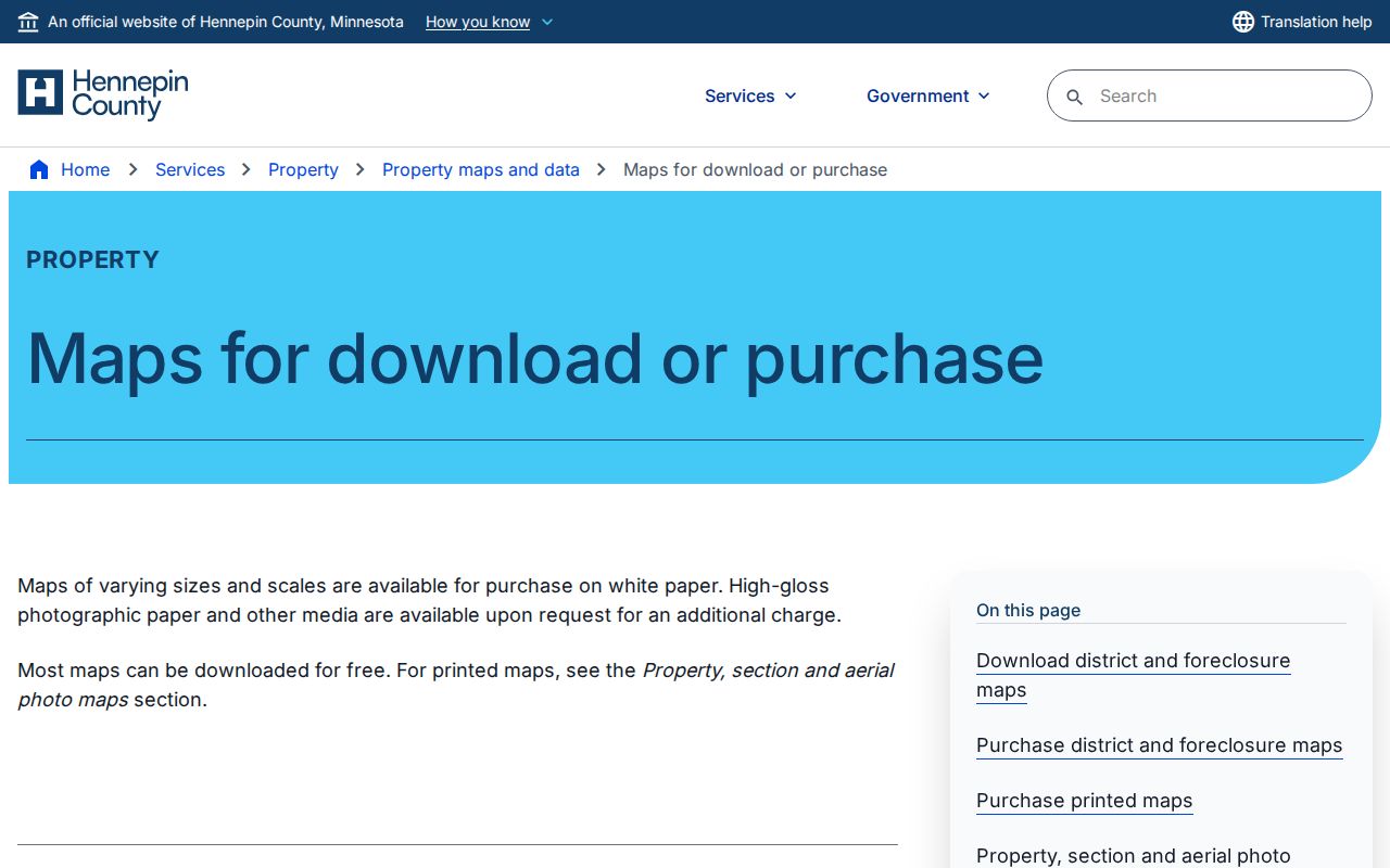
The map service is useful for parcel context, while a recorded plat or survey is the source for a legally controlling line.
Note: Retain both municipal and postal address forms because Bloomington locations can be served with Minneapolis postal wording.
Hennepin Deed Chain Backward
The Hennepin deed chain begins after PINS supplies a legal description or current owner or entity lead. In RecordEASE Public Search, identify the purchase deed, its recording date and document number, the grantor or seller, and the grantee or buyer. Then search the seller as an earlier grantee to find the prior purchase, and repeat. Record each party role and instrument type. A grantor can be an estate, trustee, lender, government body, or another party, so a matching name is not itself a household conclusion.
- Find the present Bloomington parcel in PINS and write down the PID and legal description.
- Use the legal description or current owner or entity name in RecordEASE to locate the recent transfer instrument.
- Record the document number, recording date, instrument type, grantor, grantee, and any certificate or book reference.
- Search that grantor as an earlier grantee to find the conveyance that brought the property to that party.
- Repeat backward, keeping a dated list instead of relying on memory or a single surname.
- When the online route stops, use the county terminal, paid image route, or copy request rather than inventing an index cutoff.
- Grantor
- The party conveying an interest in an instrument, often a seller but not always.
- Grantee
- The party receiving an interest, often a buyer but sometimes another legal role.
- Chain of title
- The sequence of recorded transfers and interests used to trace ownership of a parcel.
- Legal description
- The lot, block, addition, section, or other land description that can persist when a street address changes.
The RecordEASE entry screen is the county's credentialed route to the recorder index.
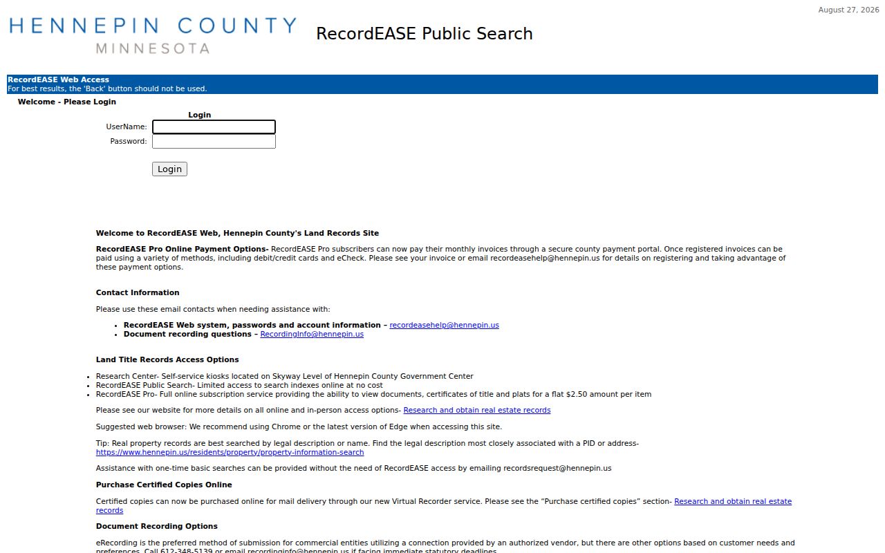
The login requirement is why field-level result details must be confirmed after county credentials or another documented access channel is available.
Compare Bloomington Title Paths
Hennepin land records can follow two title paths. Abstract land is traced through recorded instruments. Registered, or Torrens, land uses a certificate of title and subsequent interests recorded against that certificate. Before deciding that a deed chain is complete, check whether the parcel record points to an abstract instrument trail or a Torrens certificate trail. Both are held by the Recorder / Registrar of Titles, but the documents and references can differ.
| Title path | Core evidence | Research check |
|---|---|---|
| Abstract | Recorded deeds and related instruments | Trace grantor and grantee instruments by legal description or party. |
| Torrens | Certificate of title and recorded memorials | Check the certificate and later instruments associated with it. |
A certified copy is different from a free index hit. Online certified document or certificate copies are $10, plats are $15, and the online service fee is $3. Mailed noncertified documents are $1 per page, while mailed certified documents are $10. Confirm the current fee and requested record type with the county before ordering.
Bloomington Recording History Limit
The recent-recording history visible through PINS covers only the last five years and may be incomplete. It is a quick Bloomington starting point, not a full history of ownership or previous residents. The full RecordEASE index's start date was not located in the reviewed official sources. Earlier work may require a county-supplied Public Search credential, RecordEASE Pro, the public computers at the Hennepin Government Center, a mail or electronic copy request, or professional title research.
Public terminal research is a real fallback, not a last resort. Hennepin lists public recorder computers on the Skyway level, room SK-0353, at 300 S. 6th St. in Minneapolis, on weekdays from 8 a.m. to 4:30 p.m. County guidance favors the legal description or an individual or entity name. Use that key from the PINS record instead of guessing from an old street spelling.
Hennepin Property Notices describes tax-record request options, including detailed payment data available from 2014.
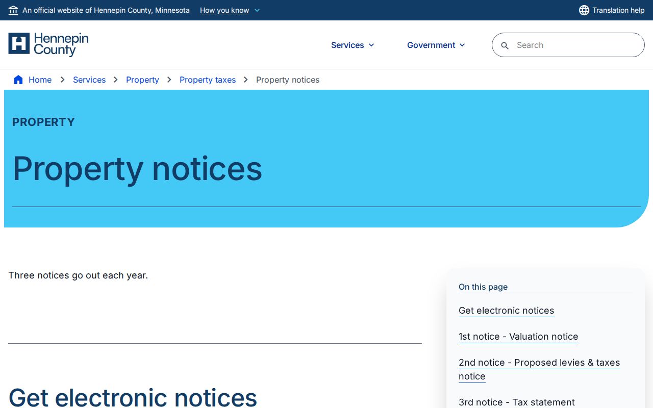
Tax payment information can date a parcel event, but it does not replace the recorded title trail or identify a household.
Note: The five-year online view is a documented visibility limit, not a statement that older deeds are absent.
Pair Bloomington Directories and Census
Deeds trace a property interest, while household sources can add a lead about who lived there before. Hennepin County Library's ResCarta collection has four exact Bloomington City Directory titles for 1963 through 1966. Search an address and surname in each year, then inspect every hit. A title may use surname-first order, ditto marks, or abbreviated street forms. Women and minors may be missing under a head-of-household convention, so an absence should not be read as proof that a person was not there.
- Normalize the Bloomington street address with the PID and legal description, then save alternate street abbreviations.
- Search the 1963-1966 Bloomington directory volumes for the address and surname, reviewing all results in each year.
- For an earlier or later gap, use a regional title only after checking that its geography includes the needed place.
- Record the directory year, address, residence mark, head-of-household details, spouse notation, and source page.
- Pair the result with the closest federal or Minnesota state census, retaining the historical township or county wording.
- Use a deed, cemetery, obituary, newspaper, or permit record to test the timing rather than claiming uninterrupted presence.
MNHS's state-population-census finding aid includes Hennepin Bloomington-St. Anthony and Bloomington-Wayzata groupings on different rolls. Modern city boundaries are therefore not a safe historical search boundary. The directory collection is described in more detail on the Bloomington city directory page.
Bloomington House History Sources
Hennepin Library's house-history guide brings together address-searchable directories, maps, photographs, aerial photographs, lot surveys, and the county GIS viewer. It also gives Bloomington researchers an important warning: permit retention outside Minneapolis varies by city. For Bloomington permits, return to the city Building and Inspections channels and the city data-practices request route rather than assuming the Minneapolis permit-card collection covers the address.
No Bloomington-specific Sanborn fire-insurance title was located in the reviewed Library of Congress Minnesota metadata. Do not substitute a Minneapolis sheet for a Bloomington parcel. Hennepin History Museum's research library lists maps, atlases, directories, clippings, Sanborn materials, and appointment-based research access. County plats, historic aerials, City maps, and local-history holdings are better documented ways to fill the gap.
Hennepin Library's house-history guide links the address research resources together.
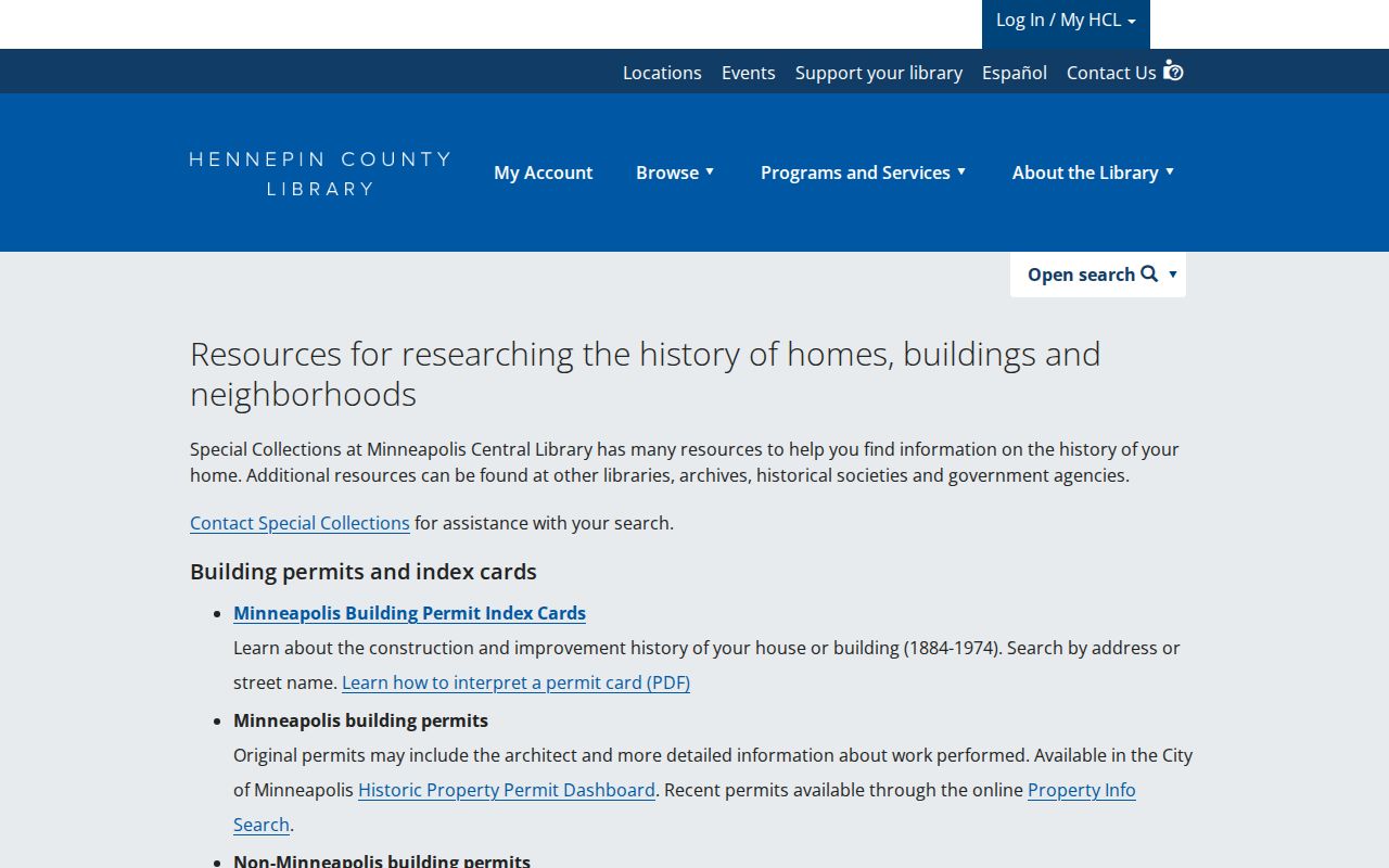
The guide supports a source-by-source house history instead of filling missing years with an unsupported map or directory claim.
Bloomington Permit-Era Gaps
Permits can date work at a property but they do not establish who lived there. Bloomington's current CityView system is address searchable for applications processed from January 30, 2017. Its legacy system covers December 7, 1998 through January 29, 2017 but requires a seven-digit permit number and has no property-address search. If the number is unknown, call Building and Inspections at 952-563-8930 or request the releasable record through the city data-practices process.
The current system may show an owner or entity, a contact, dates, category, PID, and inspection status. Those fields are clues about property work and an instrument's timing. They do not convert a named contractor, entity, or contact into a past resident. Preserve the role, address, and date in the research notes, then compare them to a deed or directory source.
Note: An address-search gap in the legacy permit system is a technology boundary, not evidence of no permit or no past household.
Bloomington Old Town Hall Context
Bloomington's record trail predates modern city systems. The Historical Society places the city's town formation on May 11, 1858, and describes the 1892 town hall as a civic landmark used by the city until 1964. Old Shakopee Road and Nine Mile Creek are useful historic place anchors, especially when a household is recorded under township, county, church, cemetery, or nearby post-office geography rather than a current city form.
The Bloomington Historical Society's Old Town Hall research area has bound Bloomington newspapers from 1930 to 1960 and from the 1970s, with possible newer Sun Current issues in basement archives. Newspapers can add notices, obituary leads, or address context between directory years. They should be read alongside the exact date, source title, and a land or household record. The city cemetery, established in 1856 and town-acquired in 1864, has records reaching the 1800s and is another documented endpoint for historical research.
The Bloomington Historical Society timeline provides the local chronology used to select era-appropriate records.
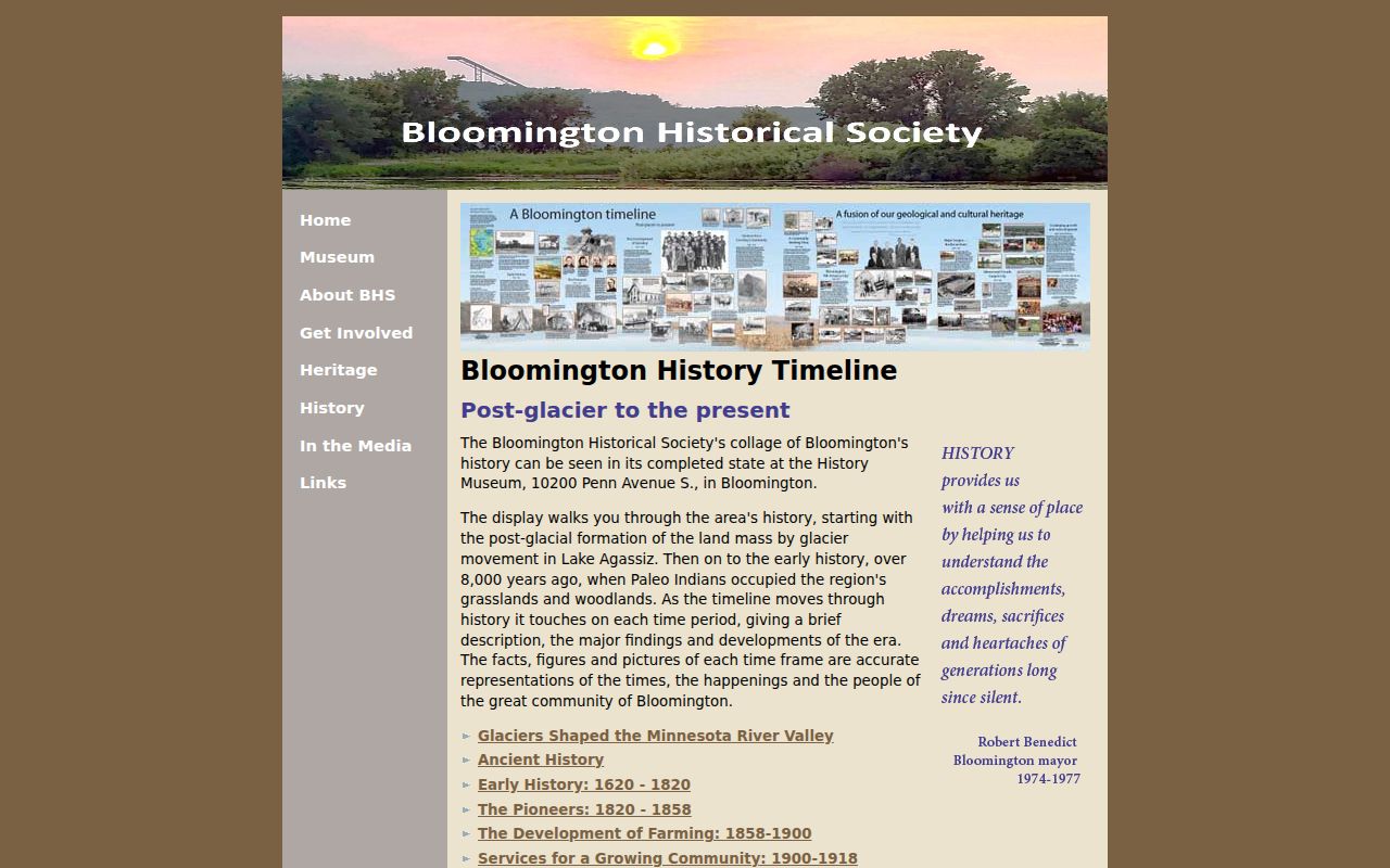
The timeline helps explain why an early Bloomington household may be filed under township-era or county-era geography.
Limits on Bloomington Past Residents
Previous residents research has real limits. A deed names people connected to an interest in land, not every person in a home. Historic directories may omit women, minors, or people outside the volume's publication rules. A census must be interpreted within its historical boundary and schedule date. Postal city wording, parcel splits, and changed directory abbreviations can all create a false match. A no-result can reflect a collection gap, field syntax, a privacy classification, or a missing record rather than absence.
Address protection matters as well. Minnesota Safe at Home participants may use a designated mailing address, and some voter and court information is withheld or restricted. Do not try to defeat a protection or publish a living person's location. For an unclear city or county record, use the appropriate custodian's documented request process and accept a lawful denial where one applies.